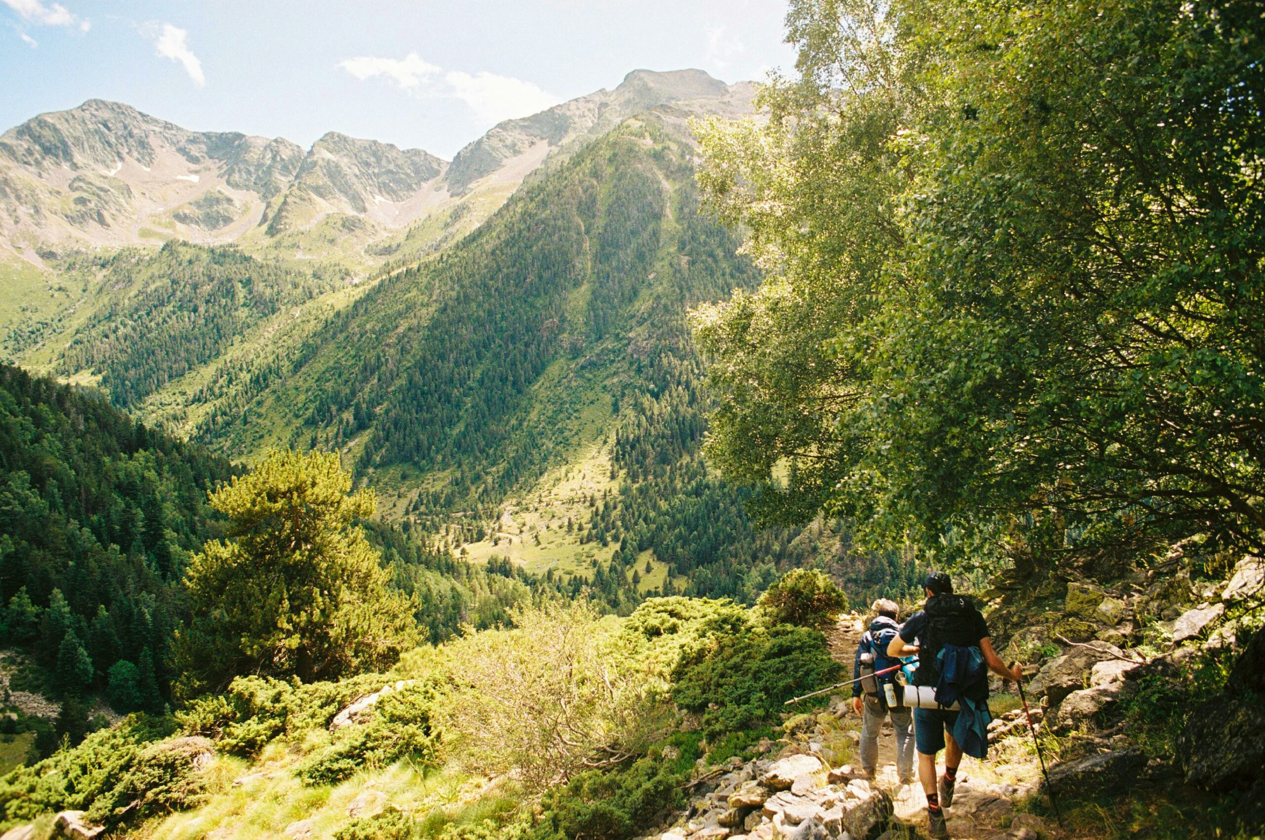
So you’ve decided to head to the Pyrenees for a trek. Good call. Honestly, it’s one of those mountain ranges that still feels surprisingly wild and uncrowded compared to the Alps – and that’s a big part of the charm. But going in unprepared ? That’s where things can go sideways fast.
This guide covers everything you actually need to know before you go : when to leave, what to pack, how to plan your route, where to sleep, and what people consistently get wrong. If you want to dig deeper into route planning and local trail conditions, the team at pyrenees-guide-montagne.com has put together some genuinely detailed resources that are worth bookmarking before you start planning.
First things first : what kind of trek are you actually planning ?
 The Pyrenees stretch roughly 430 kilometres from the Atlantic coast near Hendaye all the way to the Mediterranean near Cerbère. That’s a lot of terrain – and it’s not all the same. At all.
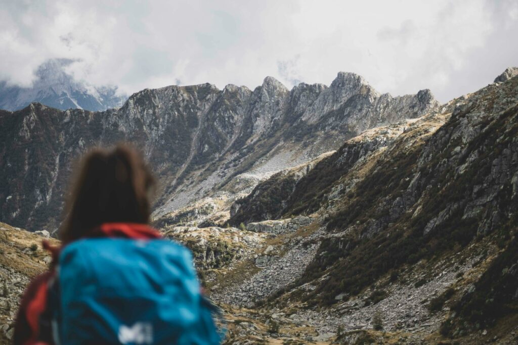
The western end, around the Basque Country and Béarn, is greener, wetter, and more forested. Beautiful, but expect rain. The central Pyrenees – think Hautes-Pyrénées, with the Vignemale at 3,298m, the Cirque de Gavarnie, and the Néouvielle massif – are the most dramatic and popular. And the eastern Pyrenees, heading into Ariège and Catalan territory, are drier, sunnier, and often less busy.
Why does this matter ? Because your gear list, your timing, and your fitness expectations will be completely different depending on where you go.
Are you planning a multi-day point-to-point route ? A loop from a base camp ? Day hikes from a village ? Be specific with yourself – it changes everything downstream.
When to go : don’t underestimate the weather window
The safe trekking season in the high Pyrenees is shorter than most people think. Roughly mid-June to mid-September, and even then, mid-June can still have significant snow on passes above 2,200m.
July and August are peak season – trails are busy, refuges fill up, and you need to book accommodation weeks in advance. September is, frankly, my favourite month. Fewer people, lower temperatures, stable weather, and the light is extraordinary. October is possible in the lower altitudes but you’re rolling the dice on conditions.
One thing that surprises a lot of trekkers : afternoon thunderstorms in July and August are extremely common above 2,000m. Like, almost daily. The rule of thumb is to be off exposed ridges and high passes by early afternoon – ideally by 1pm or 2pm at the latest. This isn’t optional. Lightning in the mountains is genuinely dangerous.
The GR10, the HRP, the GR11 – which one ?
There are three main long-distance routes that cross the Pyrenees :
The GR10 stays entirely on the French side. It’s well-marked, well-serviced, and takes roughly 45 to 55 days to complete in full. Good network of refuges and gîtes along the way. Best option if you want a complete traverse with reliable infrastructure.
The GR11 is its Spanish equivalent, running along the southern slopes. Less frequented, often wilder, but with fewer services in some sections. Longer in places.
The HRP (Haute Route Pyrénéenne) is the serious one. It crosses the ridge constantly, dipping between France and Spain, and involves significant sections with no marked trail at all. It’s not for first-timers. At all.
You don’t have to do the full route, of course. Most trekkers pick a 5 to 10-day section. Popular choices include the Gavarnie-Cauterets area, the Néouvielle lakes circuit, or the section around Bagnères-de-Luchon.
Accommodation : refuges, gîtes, and wild camping
Mountain refuges (refuges de montagne) are staffed huts at altitude – usually open from June to September. They offer dormitory beds, half-board (dinner and breakfast), and sometimes private rooms. Prices are typically around €25–35 for a bed, with half-board adding another €25–30. Book in advance. Seriously. The Refuge des Oulettes de Gaube below the Vignemale fills up weeks ahead in high season.
Gîtes d’étape are lower-altitude, village-based hostels. Slightly more comfortable, cheaper, and often with private room options. Good for rest days or when you’re coming off the mountain.
Wild camping (bivouac) is tolerated – not technically legal everywhere, but widely accepted if you follow the unwritten rules : above 1,600m, arrive late (after 7pm), leave early (before 9am), leave no trace. In national parks like the Pyrénées National Park, check the specific rules as they vary by zone.
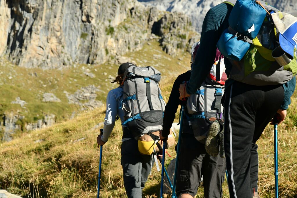
What to pack – and what people always overpack
 A common mistake : people bring too much. A heavy pack on mountain terrain over multiple days is genuinely miserable by day three.
For a 7-day summer trek in the high Pyrenees, you’re realistically looking at a pack weight of 10–14kg with water and food. That’s the target. Here’s what really matters :
Footwear : proper mid-height hiking boots with ankle support. Not trail runners, unless you have real experience on loose rocky terrain. The scree in the central Pyrenees can be brutal.
Layering : even in summer, temperatures at 2,500m can drop to 5–8°C at night. A lightweight insulating layer (down or synthetic) is non-negotiable. Add a waterproof shell – not a poncho, a proper jacket.
Navigation : a good paper map (IGN 1:25,000 scale for France) plus a GPS app like ViewRanger or Komoot with offline maps downloaded. Don’t rely on phone signal. It barely exists above 1,800m.
First aid and blister kit : underestimated by almost everyone on their first trip. Bring Compeed, anti-inflammatories, and know how to treat a blister that’s gone bad. Your feet are your entire project.
Fitness : be honest with yourself
The Pyrenees are not a casual stroll. A typical day on the GR10 in the central section involves 1,000 to 1,400m of elevation gain, on rough terrain, over 6 to 8 hours.
If you’re not regularly hiking with a loaded pack on actual hills before you go, you will struggle. Maybe not on day one. Definitely by day four.
Prepare specifically : long days with your actual pack, on actual inclines. Walking on flat ground does not prepare your knees for descending 1,200m of rocky trail. It just doesn’t.
Practical logistics people forget about
Getting there : the Pyrenees aren’t always easy to access by public transport, especially the trailheads. Lourdes, Tarbes, Pau, and Perpignan all have airports or good rail connections. From there, getting to specific valleys often means a bus or a taxi – plan this in advance.
Border crossings : if your route takes you into Spain, bring your passport or EU ID. It’s rarely checked but technically required.
Mobile coverage : patchy at best above the valleys. Download everything offline before you go – maps, refuges phone numbers, weather apps.
Weather forecasts : use Météo-France’s mountain-specific forecasts (available on their website or app). They publish altitude-specific forecasts for mountain ranges and they’re reliable. Check the day before and the morning of.
Water : streams are generally plentiful in the western and central Pyrenees in summer. In the eastern Pyrenees, sources can dry up – carry more capacity and consider a filter like a Sawyer or LifeStraw for longer stretches between refuges.
The things nobody tells you
A few things that consistently surprise first-time Pyrenees trekkers :
The snow. Even in late June, north-facing couloirs and high passes can have significant snow – sometimes requiring an ice axe on certain routes. Check recent trip reports before you go. Not theoretical trail descriptions, actual recent reports.
The marmots. Everywhere above 1,800m. It’s genuinely delightful.
The Pyrenean mountain dogs. You’ll encounter them guarding sheep herds. They’re not aggressive if you approach calmly and don’t startle them – but they are large. Very large. Give the flock a wide berth and you’ll be fine.
The Pyrenean brown bear. Small population, mostly in the Ariège area. You almost certainly won’t see one. But it’s worth knowing they exist.
Quick checklist before you leave
 Before you finalize your trip, run through this :
Route confirmed and divided into realistic daily stages ? Check elevation profiles, not just distances.
Refuges booked ? Especially for July and August. Most can be booked online now.
Weather window checked ? Not just general forecasts – mountain-specific altitude forecasts.
Maps downloaded offline ? Paper backup too.
Emergency contacts noted ? Local mountain rescue in France is PGHM (Peloton de Gendarmerie de Haute Montagne). Save the number for the relevant département.
Travel insurance with mountain rescue cover ? This one is important. Helicopter rescue in the French mountains is expensive without it.
Final thought
The Pyrenees reward preparation. Not obsessive over-planning – just the right level of thinking ahead. Know your route, book your beds, respect the weather, and don’t push beyond your actual fitness level.
Do that, and you’re in for one of the most rewarding mountain experiences in Europe. Genuinely. It’s a range that still surprises even people who’ve been going back for years.
Leave a Reply